Home · Getting Around
Nine ways to move
Once you are here
- 1
The metro
Twelve lines run by two companies, TMB and FGC, mostly underground. The oldest line dates to 1863 and the network crosses three track gauges.
- 2
Rodalies commuter rail
Eight lines in the Barcelona area, running through the center on two underground trunk routes that meet at Sants.
- 3
Buses
Municipal buses cover the city, including the line that climbs from the Avinguda del Paral·lel and the Aerobús from the airport.
- 4
Trams
Trambaix and Trambesòs run along opposite ends of the Avinguda Diagonal; a heritage tram, the Tramvia Blau, climbs toward Tibidabo.
- 5
Funiculars and cable cars
Funiculars climb Montjuïc, Tibidabo and Vallvidrera; the Montjuïc cable car serves the castle and the harbor tramway crosses the Port Vell.
- 6
Taxis
A metered fleet in black and yellow livery, caught at ranks, hailed on the street or booked by phone or app.
- 7
On foot
The Gothic Quarter, the Born, Barceloneta and the Eixample's main avenues are best walked.
- 8
Bicycles
Dozens of kilometers of bike paths and a municipal bicycle-sharing system called Bicing, built mainly for residents.
- 9
By water
Small excursion boats called Las Golondrinas leave from the Columbus monument for a view of the coast.
Getting Around
In full
One system, several operators
Barcelona is served by a metro system, a bus network, a regional railway system, trams, funiculars, rack railways, a gondola lift and aerial cable cars. Different operators run them, but they sit inside a coordinated fare system administered by the Autoritat del Transport Metropolità, the ATM, which divides the region into fare zones. All the metro stations are in zone one.
The practical consequence is that one kind of ticket, or one of the integrated travel cards, works across the metro, buses, trams and many of the trains. Fares change, so look at the operator's current table instead of a printed one, and note that tickets for the airport stations of line 9 are a separate product.
The metro
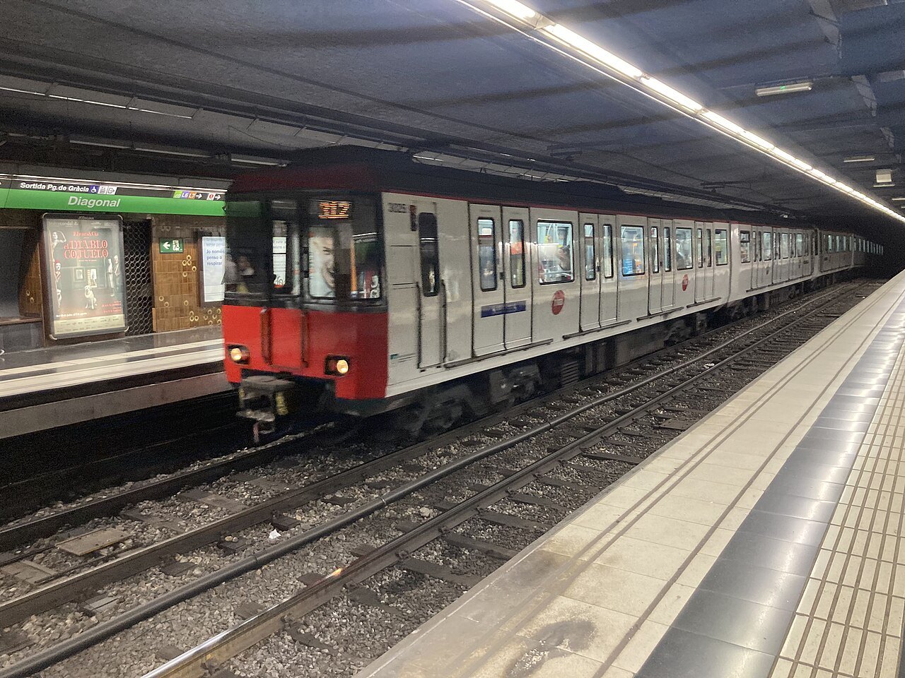
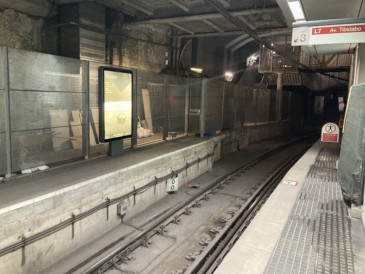
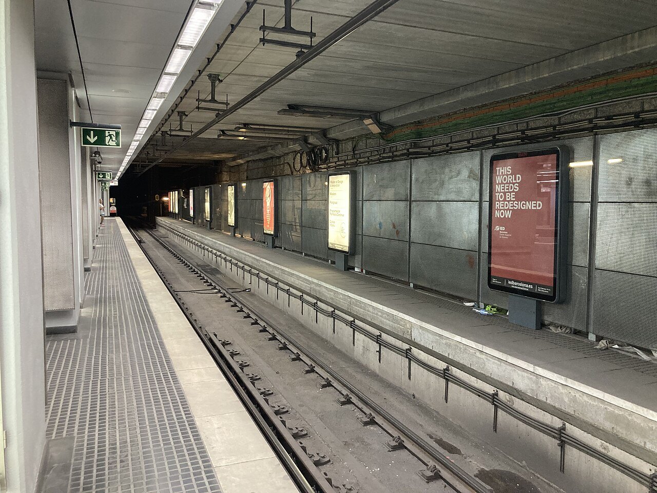
The Barcelona Metro is a rapid transit network that runs mostly underground in the center and into the suburbs. As of the early 2020s it has twelve lines and just under two hundred stations. Two companies run it: TMB operates the lines numbered one to five and nine to eleven, and the Catalan Government Railways, FGC, runs lines six, seven, eight and twelve. Lines are known by number and color, not by name.
The history is unusual. The first rapid-transit railway was founded in 1863 to connect the city with Sarrià, and that line is basically today's line six. In the 1920s two more companies built the Gran Metro, now part of line three, and the Transversal, now part of line one, which links the center with the Plaça d'Espanya and Montjuïc, the site of the 1929 fair. The Barcelona Metro is also one of only two metros in the world to run on three track gauges. Three lines, nine, ten and eleven, run without drivers, and line eleven was the first to be converted; lines nine and ten have been driverless since they opened, in sections between 2009 and 2021. Line nine south is the one that serves the airport.
Commuter rail, trams and buses
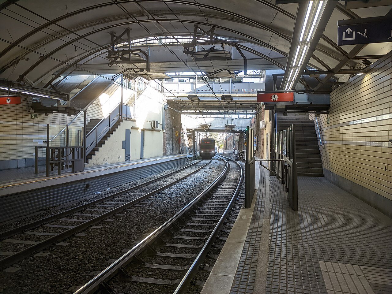
Rodalies de Catalunya, the commuter and regional rail network, gets visitors to places the metro does not reach, and its two underground trunk routes cross the center at Plaça de Catalunya, Arc de Triomf and Passeig de Gràcia. For the airport and for the towns along the coast it is often the quickest choice.
Two modern tram systems serve the outskirts. The Trambesòs, opened in 2004, links the Sant Martí district with Badalona and Sant Adrià de Besòs, starting near the Parc de la Ciutadella. Its sister, the Trambaix, serves the southwest, and both run along the Avinguda Diagonal, one at each end; they do not meet, though a project to join them has been under way since 2020. Buses cover everything else and are the way up to many hillside sights.
Funiculars and cable cars
Barcelona's hills mean that lifts are part of normal transport. FGC runs the Tibidabo funicular and the Vallvidrera funicular, and TMB runs the Montjuïc funicular, which operates as part of the metro. Above it the Montjuïc cable car serves the castle.
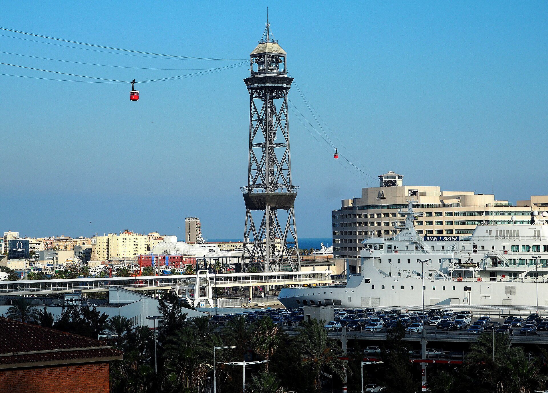
On the harbor, the Port Vell aerial tramway runs between Torre Sant Sebastià in Barceloneta and Montjuïc via Torre Jaume I; it was built for the 1929 exposition and opened in 1931. The old blue tram of Tibidabo, the Tramvia Blau, dates to 1901, but operation ceased in January 2018 pending a reconstruction that has not been completed.
On foot and by bicycle
Much of central Barcelona is walkable. The Gothic Quarter is largely closed to ordinary traffic, with service vehicles and taxis allowed, and the Rambla is a pedestrian promenade. The Eixample is flat and gridded, so distances look longer on the map than they feel.
Cycling is popular, with dozens of kilometers of bike lanes in and around the city. The Bicing system, started by the city council in March 2007, lets users take a bicycle from one station and leave it at another, but it works on a yearly membership meant for residents, so a visitor who wants to cycle will usually rent from a shop. For a change of scale, small excursion boats called Las Golondrinas leave from the front of the Columbus monument and show the coastal strip from the water, a simple way to see Barceloneta and the Port Vell from the sea side.
Taxis
Barcelona has a metered taxi fleet, governed by the metropolitan taxi institute and made up of more than ten thousand cars, most licensed to self-employed drivers. The cars are painted black and yellow and are easy to spot. They can be caught at ranks, hailed in the street, called by phone or booked through an app.
A taxi is a good choice late at night, with luggage, or when the metro and the destination do not line up, but it rarely beats the metro in the center during the day.
Using a few anchor points
The easiest way to organize a trip is by stations. Plaça de Catalunya joins the old city and the Eixample; Passeig de Gràcia is the stop for Casa Batlló and Casa Milà; Sagrada Família has its own station; Jaume I and Liceu serve the Gothic Quarter and the Rambla; Drassanes serves the harbor; Barceloneta is on line four. Montjuïc is best reached from Plaça d'Espanya or Paral·lel, and Park Güell from the stations on line three at Lesseps or Vallcarca.
Stations on the platforms carry a surprising amount of information: the metro sign at street level shows the nearest Bicing station as well, and many stops are placed next to bus and tram stops so that changes are short. Pair each day with one district, because moving between districts costs a surprising amount of time. The itineraries guide has one-day and two-day sequences laid out this way.
Accessibility
The metro is close to being fully accessible: in 2022 only a handful of its stations, among them Ciutadella-Vila Olímpica on line four and Clot on line one, were not fully accessible to people with reduced mobility. The old streets of the Gothic Quarter and the steep slopes of the hills are hard going for anyone with a wheelchair or a stroller.
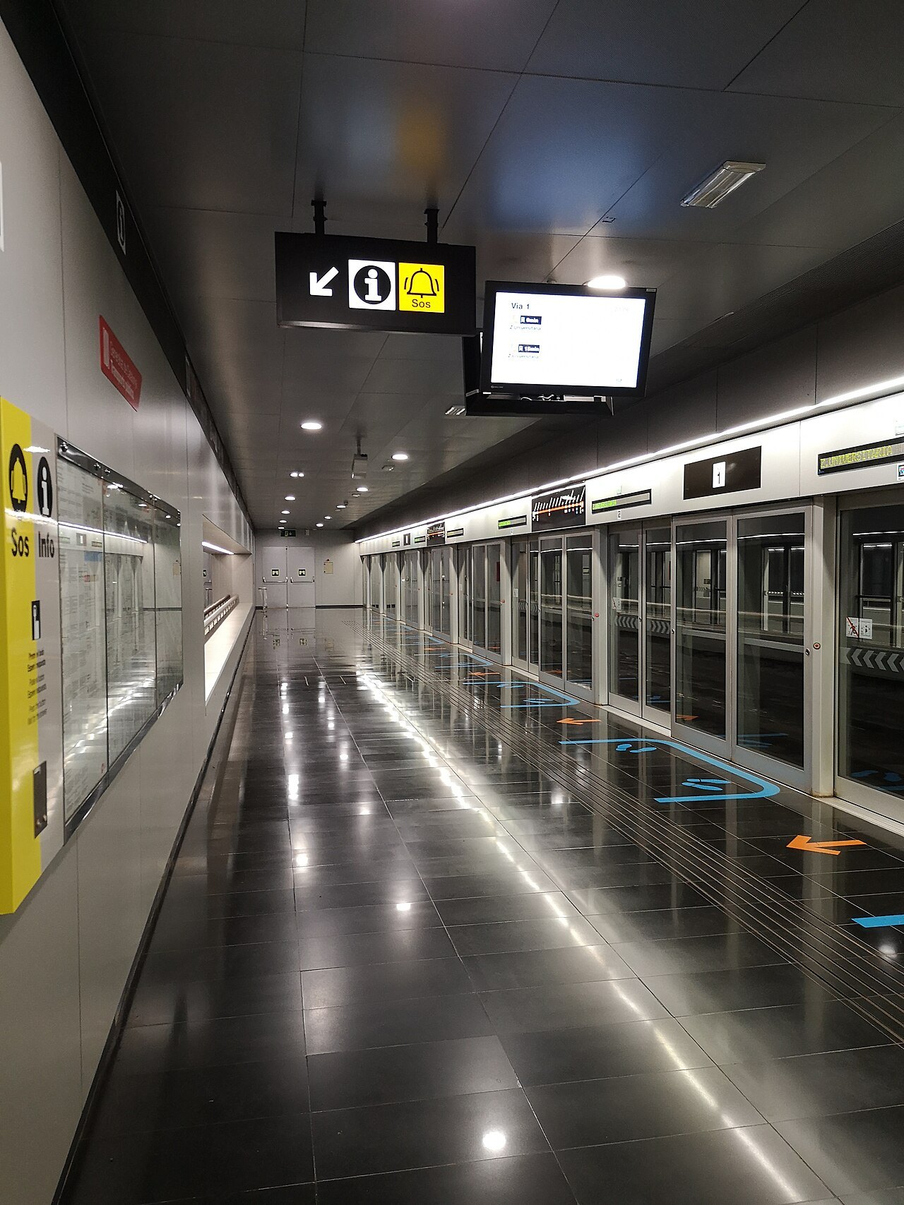
Check the operators' accessibility maps before you travel, because a lift can be out of service on a given day.
More photographs
Seen on the way
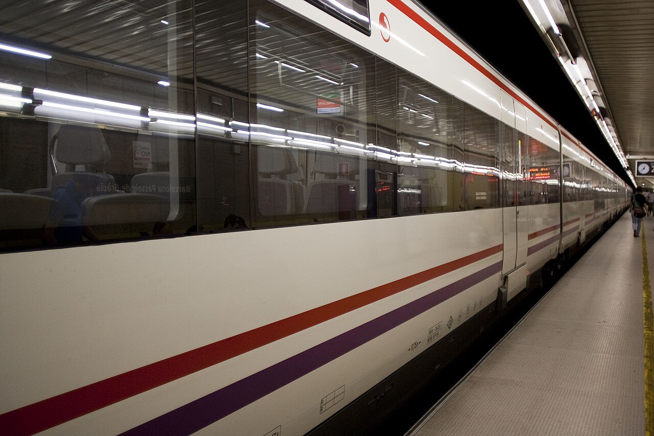
A long train standing at a metro platform.From a friend o' mine, named in the licensing, Wikimedia Commons, Public domain 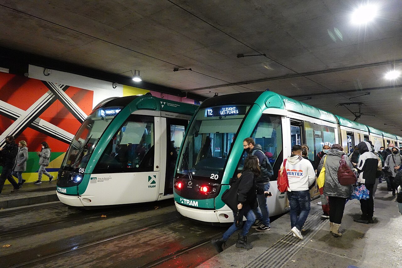
Two green trams at a station platform, with passengers stepping on board.Smiley.toerist, Wikimedia Commons, CC BY-SA 4.0 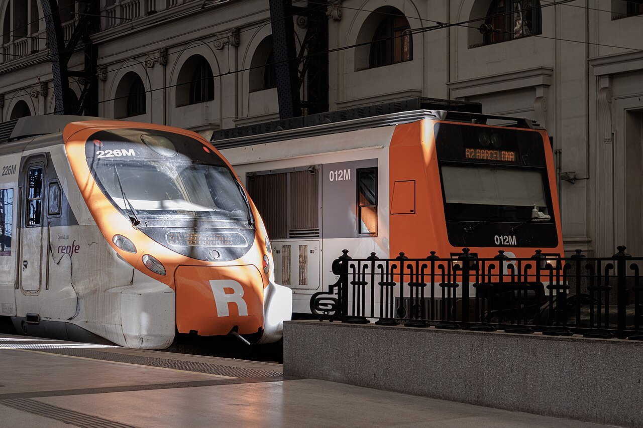
An orange-and-white Rodalies commuter train at a platform of Estació de França.Noah Toro i Calzado, Wikimedia Commons, CC BY-SA 4.0