Home · Sights · Port Vell and the Columbus Monument
Port Vell: the old harbor of Barcelona
What you are looking at
Ciutat Vella · waterfront
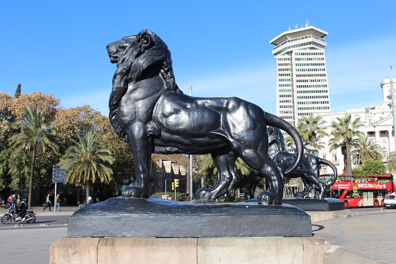
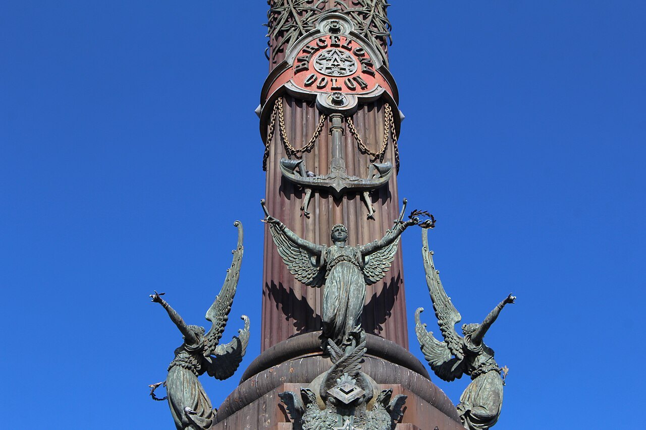
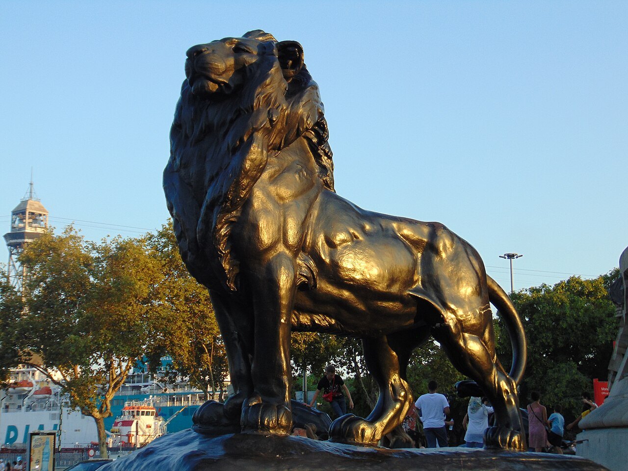
- 1The Columbus MonumentThe column at the foot of La Rambla that marks the way down to the harbor.
- 2The Rambla de MarA wooden pedestrian walkway with a swing bridge that carries La Rambla out over the water.
- 3The MaremàgnumA leisure complex of shops, cinemas, bars and restaurants on the harbor.
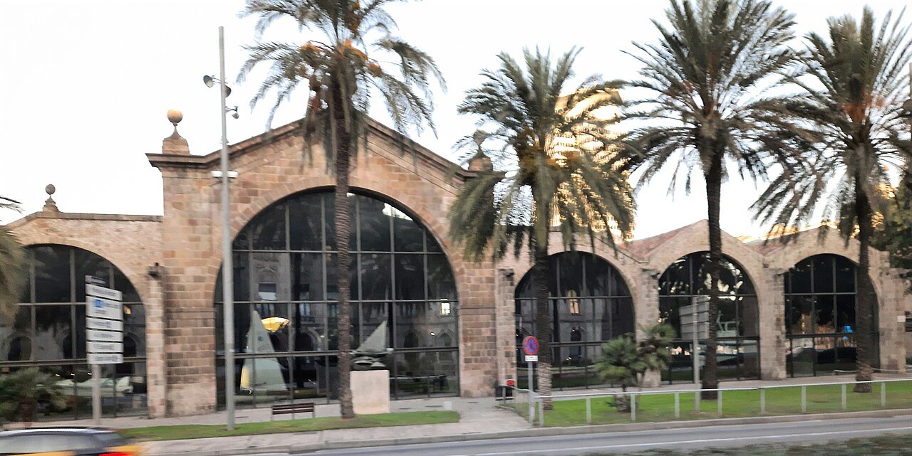
- 4The Royal ShipyardsThe medieval Drassanes, where the ships that made Catalonia a sea power were built.
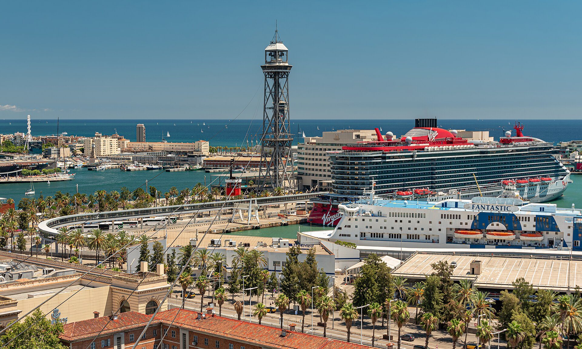
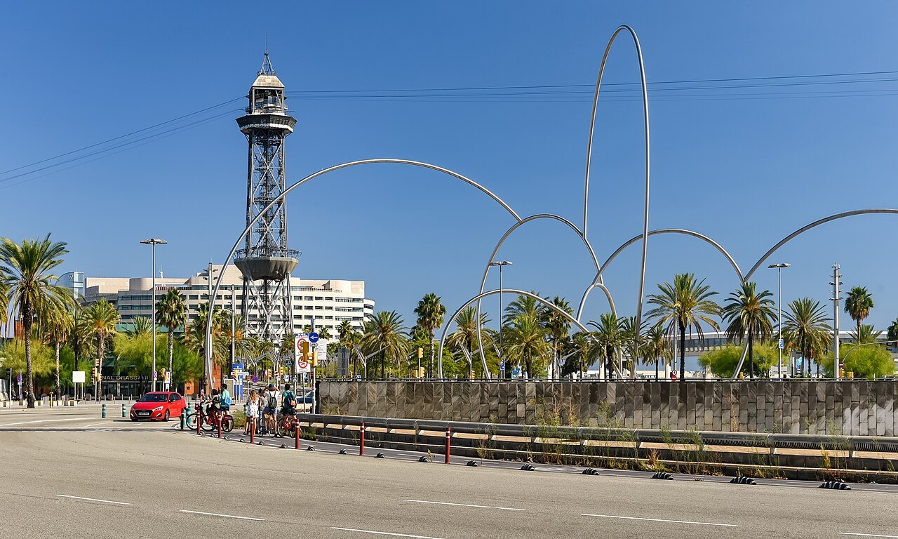
- 5The aerial tramwayA cable car across the harbor to Montjuïc, opened in 1931.
Reading the place
The sight in full
A port that was hard to build
Barcelona became a great maritime power in the Mediterranean without possessing a port worthy of the name. Ships anchored between the Royal Shipyards and the city were badly exposed to the great storms that often struck the coast and caused many shipwrecks, and the huge amounts of sand and sediment the storms deposited made it extremely difficult to build an artificial harbor, because they damaged any work, ongoing or complete.
Work on the first successful project began in 1477 and involved building a dock stretching as far as Maians Island, a sandy islet about a hundred meters off the coast. As the dike was extended, sand also collected on the beach to the southeast of the Ciutadella, and the Barceloneta neighborhood was built on the new peninsula.
Sand and storms
Despite constant work on the dike, which reached what is now the Moll de Pescadors in 1723, in 1743 the accumulated sand finally collapsed the port. An enormous sandbank between the end of the dike and what is now the Plaça del Portal de la Pau made it necessary to close the harbor, trapping some of the ships. The beacon on the Moll de Pescadors was built a little later, in 1772.
To provide a definitive solution, work began in 1816 to extend the breakwater, which reached the present floating dike in 1882. A new sandbank showed that even that was not enough, so the dike was enlarged again, an outer harbor wall was built and the port mouth was moved to the West Dock.
A public board takes over
In 1868 the city authorities asked the Development Ministry for permission to set up the Port of Barcelona Board of Public Works, which met for the first time in 1869 and ran until 1978. Under that board the port's structure was at last consolidated, and the danger from sand and storms finally overcome.
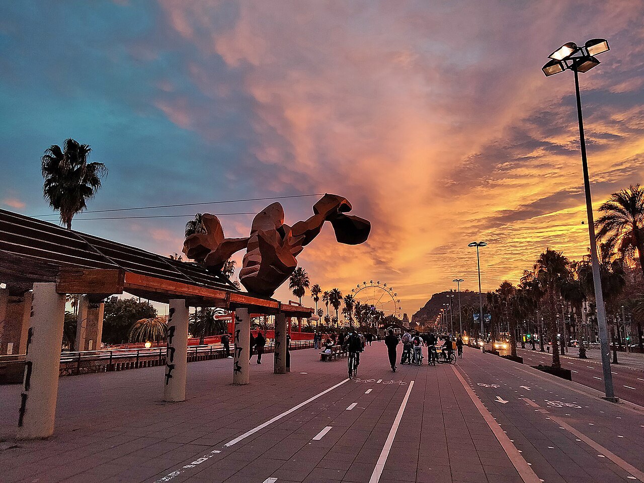
Construction of the first transversal dock, where the Moll de Barcelona now stands, was completed in 1882. That dock later carried Torre Jaume I, a tower of the harbor aerial tramway, built for the 1929 International Exposition but opened only in 1931.
From a run-down quarter to a promenade
Before the Olympic renovations, the area was run down: empty warehouses, rail yards and factories. The Port Vell was rebuilt in an urban renewal program ahead of the 1992 Games, and it is now a focal point of the city and a tourist attraction. Under the Port's Strategic Plan, drafted from 1987, the port has three main areas: the commercial port, the logistical port and the old port, and the plan pays particular attention to the last of these, with a view to reviving a historic site made obsolete by large-scale extension work and relegated to traditional uses.
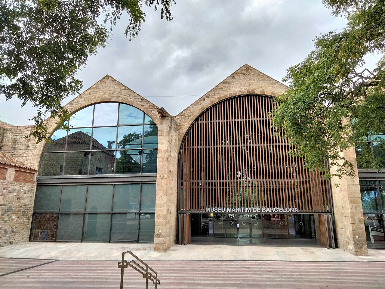
The port's Statute of Autonomy was approved in 1978, when the site took the official title of Autonomous Port of Barcelona; the old offices of public works were dissolved in 1992 and port authorities set up in their place.
What you find there
The Port Vell contains the Maremàgnum, a mall with shops, a multiplex cinema, bars and restaurants, an IMAX cinema and an aquarium. A pedestrian walkway, the Rambla de Mar, connects La Rambla to the Port Vell and incorporates a swing bridge to allow ships to enter and leave the harbor.
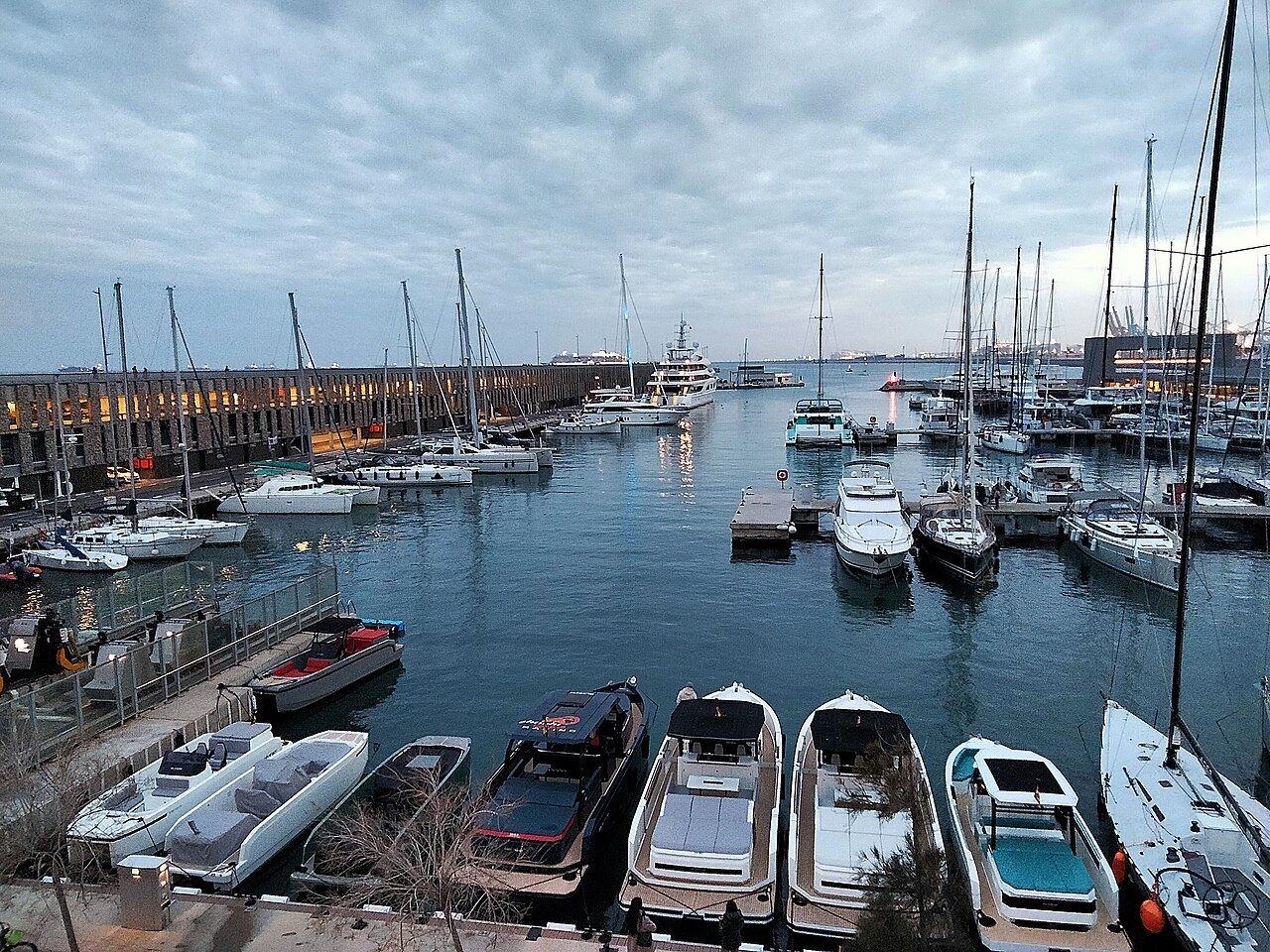
At the very end of La Rambla stands the Columbus Monument, and near the port end are the medieval Royal Dockyards, the Drassanes, which house the Museu Marítim, a naval museum that chronicles the history of life on the Mediterranean, including a full-scale model of a galley.
Roman and Iberian beginnings
Around the fourth century BC the Laietani, an Iberian people, occupied the coast between the Llobregat and Tordera rivers. Their main settlement, Barkeno, was on Montjuïc, and they traded with the Greek colony at Empúries, building large grain stores for the purpose. In the first century CE the Romans founded the colony of Barcino on Mount Tàber, and the first port activity took place on the northern side of Montjuïc.
The city and its maritime activities flourished once Barcino's walls were built after the barbarian invasion of 263. In the Late Middle Ages Barcelona stood on the frontier between Islam to the south and Christianity to the north, and became a trading point between the two worlds.
Seeing it
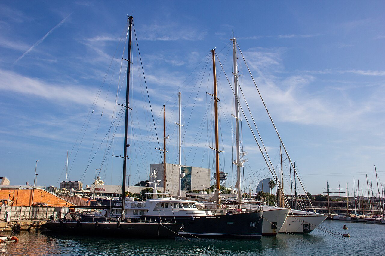
The best way to read the harbor is to walk it end to end: down La Rambla to the Columbus Monument, out along the Rambla de Mar, then along the quays toward Barceloneta. The harbor is now fully integrated into the city, which is a considerable change from the century when it was a place of warehouses.
Across the harbor, the aerial tramway links Barceloneta with Montjuïc, so the waterfront and the hill can be combined in one trip.
Buildings on the quays
The Palau de Mar, on the Passeig de Joan de Borbó beside the harbor, houses the History Museum of Catalonia, with a permanent exhibition from industrialization through the dictatorship to democracy, and the terrace of its cafeteria offers a view of the harbor and the neighborhood of Barceloneta.
Just beyond, the lighthouse tower of the Fishermen's Wharf, built in 1772, served as the harbor beacon until the mid nineteenth century and was then converted into a clock. It was also a reference point for the French astronomer Pierre Méchain when he measured the meridian arc between Barcelona and Dunkirk, a measurement that fed into the metric system.
Nearby
Where to go next
- Nearby · Ciutat Vella · seafrontLa BarcelonetaLa Barceloneta is a triangular neighborhood of narrow streets beside the Mediterranean, built in the eighteenth century for families displaced by the construction of the Ciutadella fortress.Read the page →
- Nearby · Ciutat VellaLa RamblaLa Rambla is the best-known street in central Barcelona: a tree-lined pedestrian promenade about a kilometer and a quarter long that connects the Plaça de Catalunya with the Columbus Monument at Port Vell.Read the page →
- Nearby · Sants-MontjuïcMontjuïcMontjuïc is a broad, shallow hill southwest of the city center with a commanding view over the harbor.Read the page →